Pulsar Voices
05 Mar 2016Background / Goal
Pulsar data is available from ATNF at CSIRO.au. Our team at #SciHackMelb has been working on a #datavis to give researchers and others a novel way to explore the Pulsar corpus, especially through the sound of the frequencies at which the Pulsars emit pulses.
Source data: http://www.atnf.csiro.au/research/pulsar/psrcat/
The Team:
- Tony - web dev, php, JavaScript, SQL, phpmyadmin, CDs, html, visualising pulsar
- Gary - python tech, visualising sound of a single pulsar
- Chris - data manager, accessing CSIRO pulsar data and manipulating it to a useful format
- Anderson - SQL
- Michael - transforming pulsar coordinates, azimuthal to cartesian
- Richard - data analyst, datavis advisor, data management
- AAD - R analysis of pulsar distance, frequency distribution
- Advisors: CSIRO Jess Robertson (focus on simple, doable outcome), AAD Dr Ben Raymond
Data:
- RA - east/west coordinates (0 - 24 hrs, roughly equates to longitude)
- Dec - north/south coordinates (-90, +90 roughly equates to latitude i.e. 90 is above north pole, and -90 south pole)
- P0 - the time in seconds that a pulsar repeats its signal
- f - 1/P0 which ranges from 700 cycles per sec, to some which pulses which occur every few seconds
- kps - distance from Earth in kilo-parsecs. 1 kps = 3,000 light years. The furthest data is 30 kps. The galactic centre is about 25,000 light years away i.e. about 8kps.
- See description at: figshare: DOI: 10.6084/m9.figshare.3084748.v1
Method
We plotted RA, Dec on a rectangular screen roughly to see pulsar location. One of us, Gary, worked on one pulsar data, turning the frequency into sound. A graph shows the variation in pulse between pulses. Another of the team, piotted a histogram of the range of pulsar frequencies, which shows a nice bi-modal distribution. Why is it bi-modal, we will have to ask a pulsar scientist.
What next, still to do
- load data, description, images fileset to figshare :: DOI 16.3.16 ; DONE
- add overview images as option eg frequency bi-modal histogram
- colour code pulsars by distance; DONE
- add pulsar detail sound to Top three Observants; 16 pulsars processed but not loaded
- add tones to pulsars to indicate f; DONE
- add tooltips to show location, distance, frequency, name; DONE
- add title and description; DONE
- project data onto a planetarium dome with interaction to play pulsar frequencies; DONE kind of, see below
- zoom into parts of sky to get separation between close data points; DONE kind of, see below.
- set upper and lower tone boundaries, so tones aren’t annoying
- colour code pulsars by frequency bins e.g. >100 Hz, 10 - 100, 1 - 10, <1 Hz
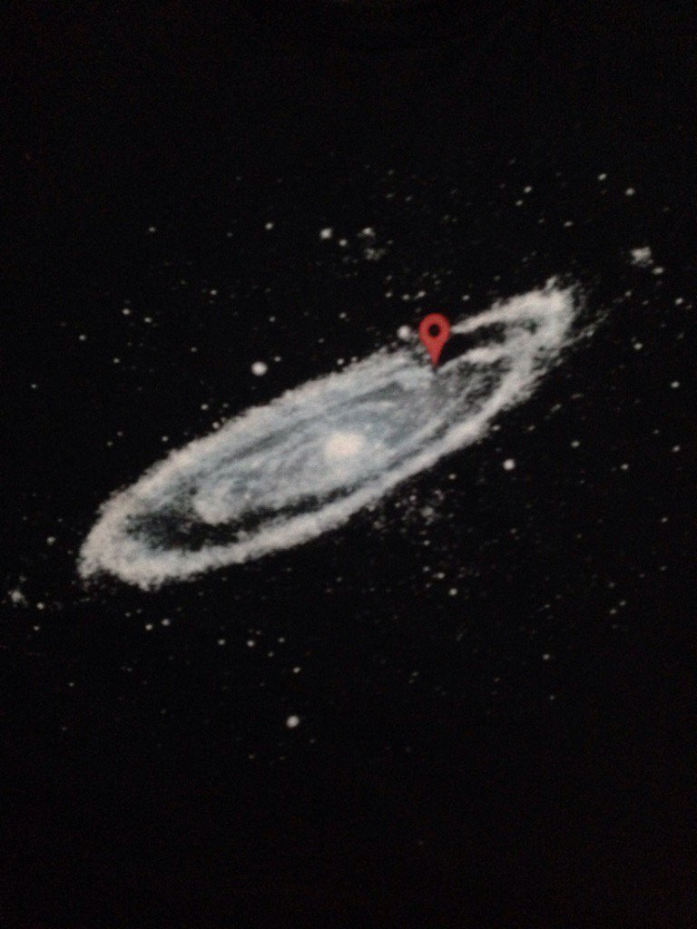
Projected Pulsar location to Google Maps / Google Earth
How to turn Pulsar data into Google map/Google Earth;
Google Drive -> Add new Google Map -> Import -> psrcatSparse.csv -> Add Title, description
Google Maps; maps.google.com -> Login -> Menu -> My Maps -> Select Pulsar Map -> See Map -> Click Earth (bottom left corner). Data projected onto Google Earth. -> Collapse Side Panel
Can rotate, zoom in/out. To see data on map marker; view -> expand side panel. Doesn’t seem any way to share Google Earth view, but can share Map view.
See Google Map Status of map: Public on the web - Anyone on the Internet can find and view
Pulsars projected onto Google Earth. NB: now noted that Google capped data upload at 2,000 rows. Missing points over Atlantic are 296 missing data points. See Google Map link above for reworked data.